

RegisCat
RegisCat is a map of surveillance cameras in Chile
- Developer
- Mate Con Jengibre
- License
- GPL-3.0-or-later
- Package
com.example.regis_cat- Category
- Navigation
- Latest version
- 1.0 · Feb 22, 2022
- Minimum Android
- Android 4.1
Screenshots
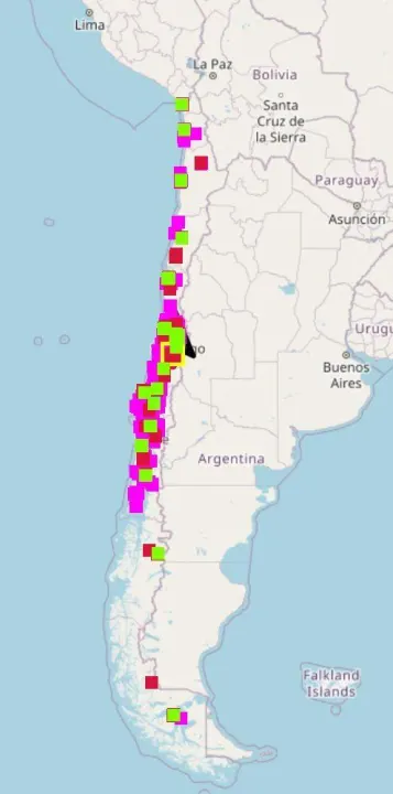
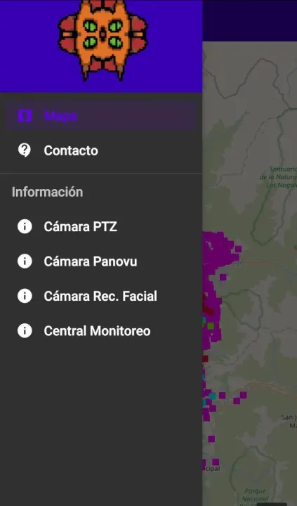
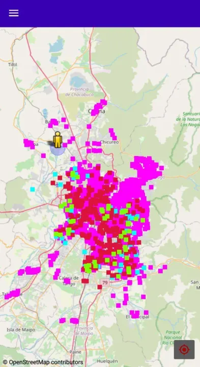

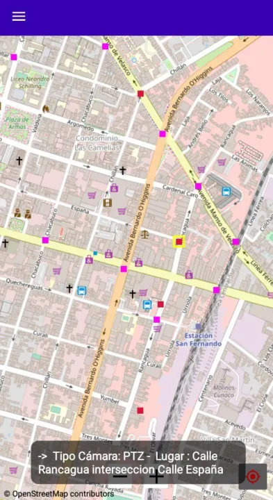
Description
RegisCat
Registration of surveillance cameras in Chile. A radical mapping application for Android
About
This map is built based on OpenStreetMap.
This application allows tracking of surveillance cameras in Chile (for now only Chile).
• Secure and privacy protected
• Does not track
• Not GoogleMap
Android Permissions
RegisCat does not need permissions except Internet Connection, Location (optional) and Storage (optional).
• This application is in its BETA phase, all functions may not be 100% operational. *
Registration of surveillance cameras in Chile. A radical mapping application for Android
About
This map is built based on OpenStreetMap.
This application allows tracking of surveillance cameras in Chile (for now only Chile).
• Secure and privacy protected
• Does not track
• Not GoogleMap
Android Permissions
RegisCat does not need permissions except Internet Connection, Location (optional) and Storage (optional).
• This application is in its BETA phase, all functions may not be 100% operational. *
All versions
| Version | Released | Minimum Android | Size |
|---|---|---|---|
| 1.0 | Feb 22, 2022 | Android 4.1 | 5.1 MB |
How to install an older version of an Android app · How to install an APK file on Android
Similar apps
-
 RailTrip
Travel through the train stations to stamp your visa!
-
 Tower Collector
Join the community and collect cell towers locations from your area!
-
 OsmAnd~
Global Mobile Map Viewing & Navigation for Offline and Online OSM Maps
-
 Déjà Vu - A local RF based back end for the µg Pro
Mobile/cell and WLAN/Wi-Fi based network provider for UnifiedNlp and microG
-
 CoMaps - Hike, Bike, Drive Offline with Privacy
Easy map navigation - Discover more of your journey - Powered by the community
-
 Organic Maps・Offline Map & GPS
Get reliable offline maps with GPS navigation for hiking, cycling, and travel.
-
 BRouter
Get elevation-aware cycling directions
-
 Sky Map
 turns your phone into a window on the night sky.