

Tehran Metro
An app to facilitate using tehran metro
- Developer
- mosayeb-a
- License
- GPL-3.0-or-later
- Package
com.ma.tehro- Category
- Navigation, Public Transport
- Latest version
- 1.6.0 · Nov 11, 2026
- Minimum Android
- Android 6
Screenshots
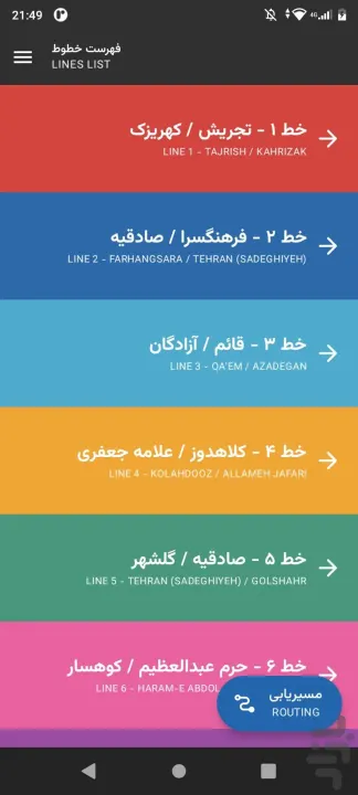
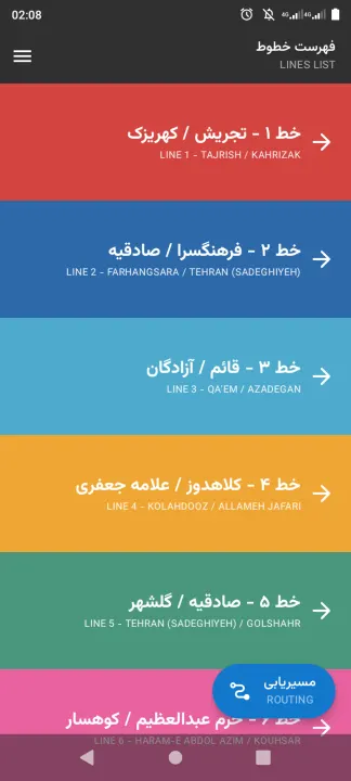
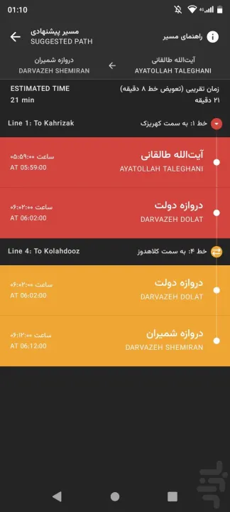
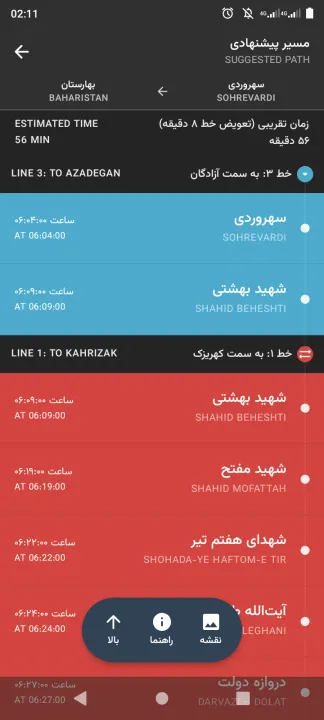
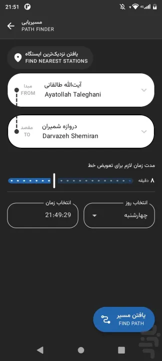

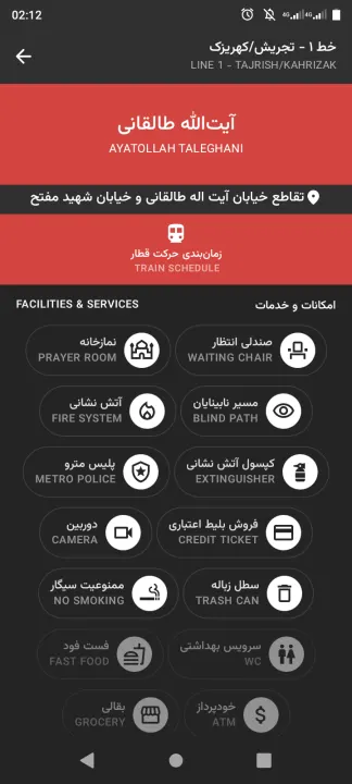

Description
A free and open-source offline Android app for navigating the Tehran Metro system efficiently.
Features:
• Detailed station info, including facilities and connections.
• Shortest path calculation between stations.
• Browse stations by metro lines.
• Offline support and lightweight design.
• Open-source, privacy-respecting, and ad-free.
Features:
• Detailed station info, including facilities and connections.
• Shortest path calculation between stations.
• Browse stations by metro lines.
• Offline support and lightweight design.
• Open-source, privacy-respecting, and ad-free.
All versions
| Version | Released | Minimum Android | Size |
|---|---|---|---|
| 1.6.0 | Nov 11, 2026 | Android 6 | 4.7 MB |
| 1.5.0 | Sep 15, 2026 | Android 5.0 | 4.6 MB |
| 1.0.0 | Oct 26, 2025 | Android 5.0 | 3.5 MB |
| 0.10.0 | Oct 7, 2025 | Android 5.0 | 3.4 MB |
| 0.9.0 | Aug 10, 2025 | Android 5.0 | 3.6 MB |
| 0.8.2 | May 11, 2025 | Android 5.0 | 3.6 MB |
How to install an older version of an Android app · How to install an APK file on Android
From the developer (GitHub)
APK files published by the developer on GitHub. They are signed by the developer and may not install over the other builds on this page (different signature). Links open github.com.
Similar apps
-
 RailTrip
Travel through the train stations to stamp your visa!
-
 Tower Collector
Join the community and collect cell towers locations from your area!
-
 OsmAnd~
Global Mobile Map Viewing & Navigation for Offline and Online OSM Maps
-
 Déjà Vu - A local RF based back end for the µg Pro
Mobile/cell and WLAN/Wi-Fi based network provider for UnifiedNlp and microG
-
 CoMaps - Hike, Bike, Drive Offline with Privacy
Easy map navigation - Discover more of your journey - Powered by the community
-
 Organic Maps・Offline Map & GPS
Get reliable offline maps with GPS navigation for hiking, cycling, and travel.
-
 BRouter
Get elevation-aware cycling directions
-
 Sky Map
 turns your phone into a window on the night sky.