

Hikar
Overlays footpaths from OpenStreetMap on the device's camera feed.
- Developer
- Nick Whitelegg
- License
- GPL-3.0-only
- Package
freemap.hikar- Category
- Navigation
- Latest version
- 0.3.2 · Jul 22, 2021
- Minimum Android
- Android 4.2
Screenshots
Description
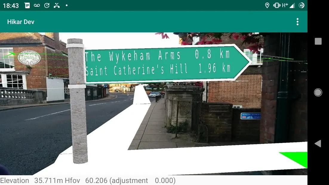
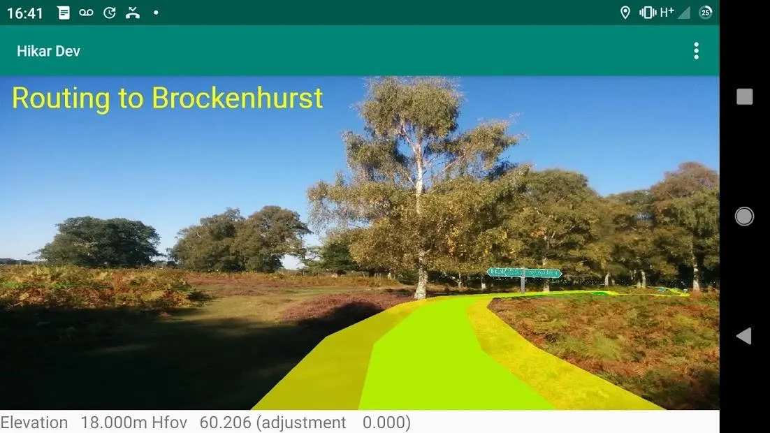
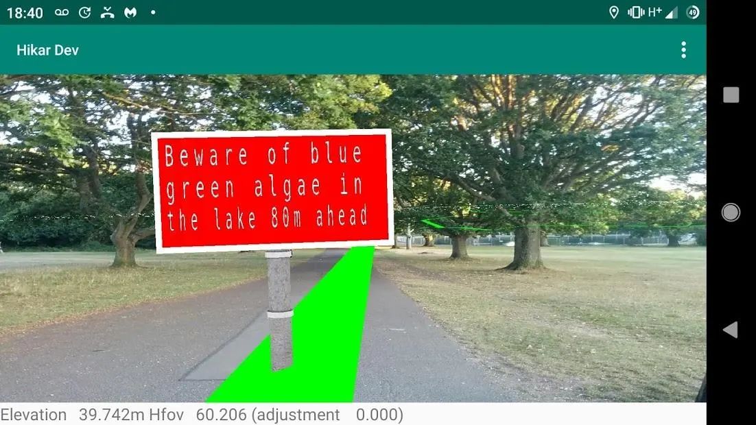
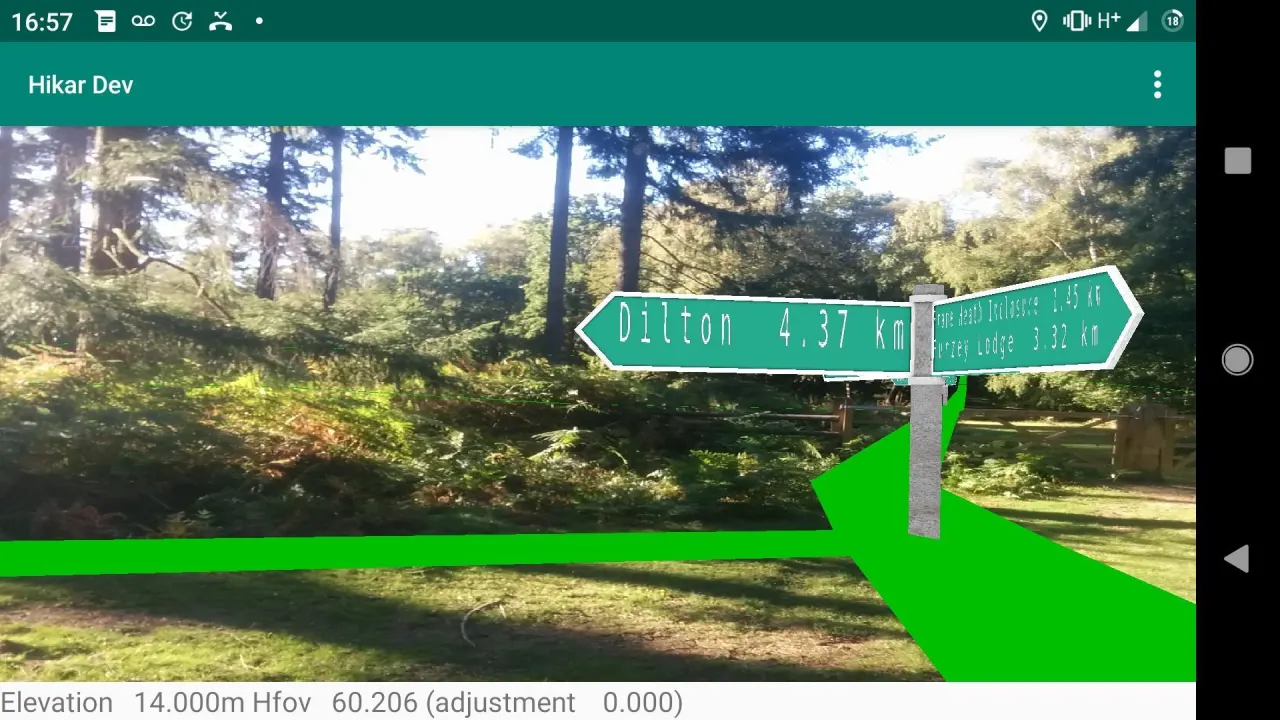
Hikar is an augmented reality app for Android (4.2+) which overlays footpaths from OpenStreetMap on the device's camera feed and shows virtual signposts.
Its aim is to help navigation for walkers/hikers (hence the name) and other outdoor users. For example, imagine you are entering a large field and it's not clear where the exit is. Hikar will overlay the course of the footpath on your phone's camera feed helping you to navigate across the field. Or, you're at a junction of paths and it's not clear which is the correct way. Hikar will show a virtual signpost, showing the direction and distance of nearby points of interest such as villages, hills, mountains or pubs. Or, you're having to make your way across a pathless moor. Again, Hikar will help you find the way.
Hikar covers the whole of Europe, plus Turkey. It could potentially work in any area which uses Roman, Greek or Cyrillic characters, but the Hikar server (also FLOSS software: see gitlab.com/nickw1/freemap-api) currently only contains data for the specified areas.
Note that Hikar is a research project and therefore, while perfectly usable for navigation it is not a 'polished' app with a really nice UI and, like many AR apps, can use a lot of battery power.
Please note, that for a currently-unknown reason, Hikar will not run on the Amazon Fire HD 10 (and possibly other Amazon Fire devices).
Many thanks to my colleague Neil Brewis for providing the signpost assets.
Its aim is to help navigation for walkers/hikers (hence the name) and other outdoor users. For example, imagine you are entering a large field and it's not clear where the exit is. Hikar will overlay the course of the footpath on your phone's camera feed helping you to navigate across the field. Or, you're at a junction of paths and it's not clear which is the correct way. Hikar will show a virtual signpost, showing the direction and distance of nearby points of interest such as villages, hills, mountains or pubs. Or, you're having to make your way across a pathless moor. Again, Hikar will help you find the way.
Hikar covers the whole of Europe, plus Turkey. It could potentially work in any area which uses Roman, Greek or Cyrillic characters, but the Hikar server (also FLOSS software: see gitlab.com/nickw1/freemap-api) currently only contains data for the specified areas.
Note that Hikar is a research project and therefore, while perfectly usable for navigation it is not a 'polished' app with a really nice UI and, like many AR apps, can use a lot of battery power.
Please note, that for a currently-unknown reason, Hikar will not run on the Amazon Fire HD 10 (and possibly other Amazon Fire devices).
Many thanks to my colleague Neil Brewis for providing the signpost assets.
All versions
| Version | Released | Minimum Android | Size |
|---|---|---|---|
| 0.3.2 | Jul 22, 2021 | Android 4.2 | 4.8 MB |
| 0.3.1 | Jun 16, 2021 | Android 4.2 | 4.8 MB |
How to install an older version of an Android app · How to install an APK file on Android
Similar apps
-
 RailTrip
Travel through the train stations to stamp your visa!
-
 Tower Collector
Join the community and collect cell towers locations from your area!
-
 OsmAnd~
Global Mobile Map Viewing & Navigation for Offline and Online OSM Maps
-
 Déjà Vu - A local RF based back end for the µg Pro
Mobile/cell and WLAN/Wi-Fi based network provider for UnifiedNlp and microG
-
 CoMaps - Hike, Bike, Drive Offline with Privacy
Easy map navigation - Discover more of your journey - Powered by the community
-
 Organic Maps・Offline Map & GPS
Get reliable offline maps with GPS navigation for hiking, cycling, and travel.
-
 BRouter
Get elevation-aware cycling directions
-
 Sky Map
 turns your phone into a window on the night sky.