

BikeTrackd
A cycling speedometer and GPS tracker with offline maps and bike maintenance
Promotes non-free network services Depends on a specific server
- Developer
- Higor Silva
- License
- MIT
- Package
com.biketrackd.app- Category
- Navigation
- Latest version
- 0.7.2 · Aug 11, 2026
- Minimum Android
- Android 5.0
Screenshots
Description
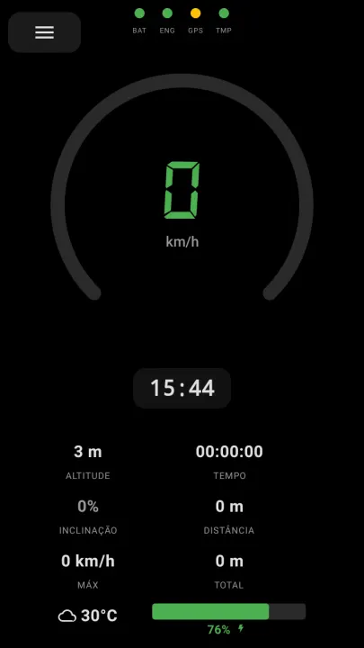
BikeTrackd is a cycling speedometer and GPS tracker built for Android with Jetpack Compose and Material 3.
Features:
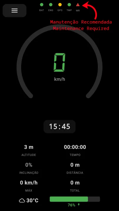
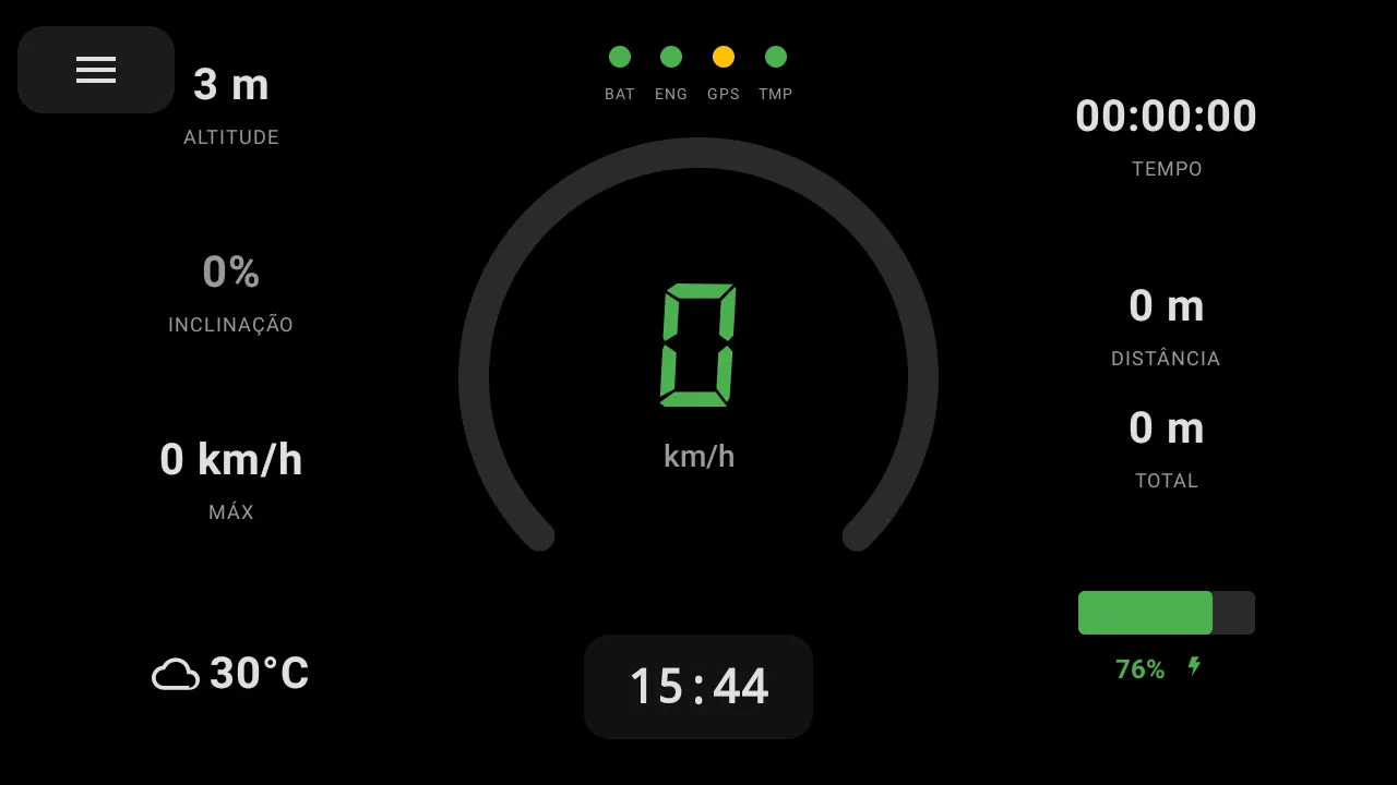
• Real-time speedometer with animated counter and color gradient (green → yellow → red)
• GPS map with MapLibre GL, trail tracking, follow mode, and rotation
• Session recording with distance, max/avg speed, and duration persisted via Room
• GPX export for any recorded session
• Current weather display via Open-Meteo API
• Offline map tiles download (zoom 10–14, 40 km radius)
• Battery level indicator
• Metric/imperial unit toggle with live conversion
• Landscape and portrait optimized layouts
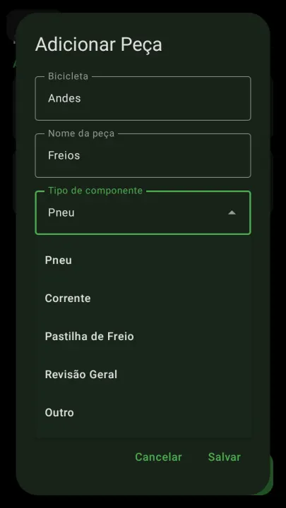
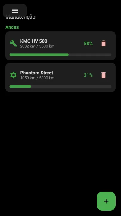
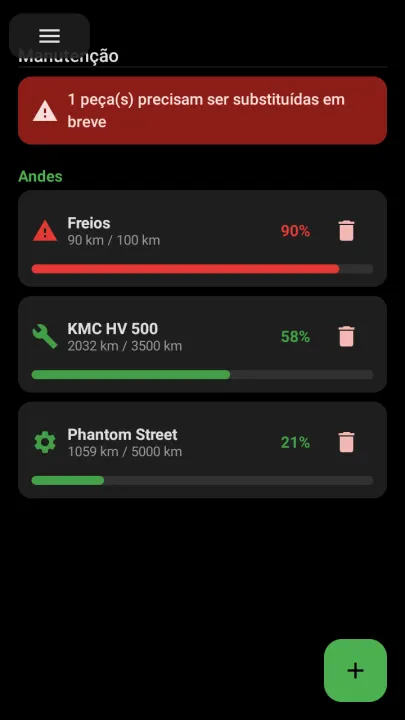
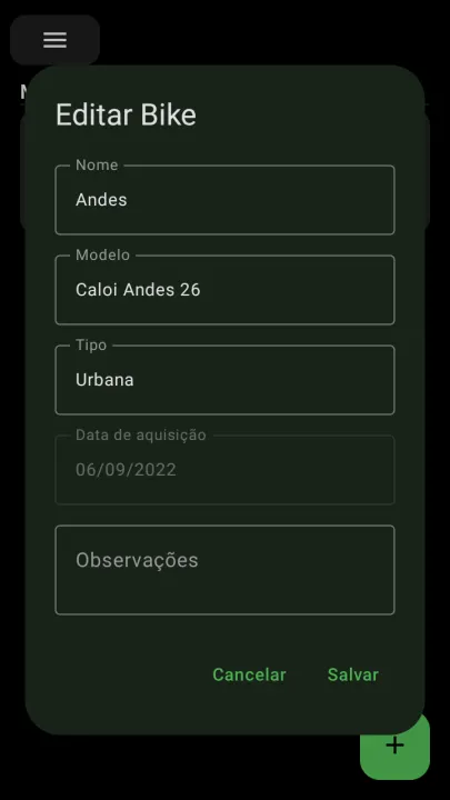
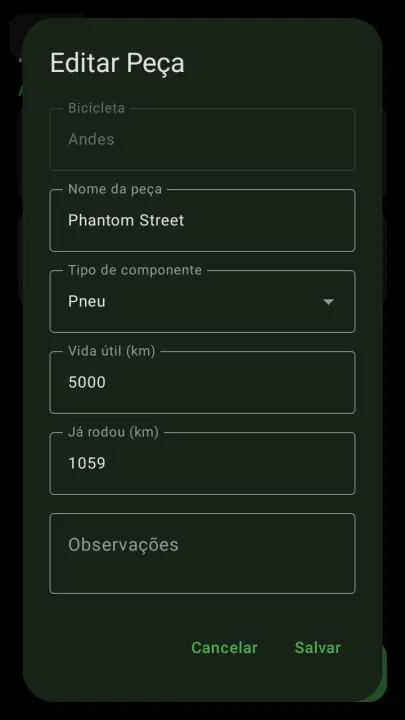
• Bike and parts management with wear tracking and maintenance alerts
• Speed limit warning
• Burn-in protection for OLED screens
• Adjustable font size
• Multiple languages (English, Portuguese)
Network services:
• Open-Meteo for weather display
• OpenFreeMap for online map tiles (optional offline downloads available)
• OpenStreetMap Nominatim for city search
• GraphHopper for A→B route navigation, using your own free API key (optional; unused without a key)
Features:
• Real-time speedometer with animated counter and color gradient (green → yellow → red)
• GPS map with MapLibre GL, trail tracking, follow mode, and rotation
• Session recording with distance, max/avg speed, and duration persisted via Room
• GPX export for any recorded session
• Current weather display via Open-Meteo API
• Offline map tiles download (zoom 10–14, 40 km radius)
• Battery level indicator
• Metric/imperial unit toggle with live conversion
• Landscape and portrait optimized layouts
• Bike and parts management with wear tracking and maintenance alerts
• Speed limit warning
• Burn-in protection for OLED screens
• Adjustable font size
• Multiple languages (English, Portuguese)
Network services:
• Open-Meteo for weather display
• OpenFreeMap for online map tiles (optional offline downloads available)
• OpenStreetMap Nominatim for city search
• GraphHopper for A→B route navigation, using your own free API key (optional; unused without a key)
All versions
| Version | Released | Minimum Android | Size |
|---|---|---|---|
| 0.7.2 | Aug 11, 2026 | Android 5.0 | 15.5 MB |
How to install an older version of an Android app · How to install an APK file on Android
From the developer (GitHub)
APK files published by the developer on GitHub. They are signed by the developer and may not install over the other builds on this page (different signature). Links open github.com.
Similar apps
-
 RailTrip
Travel through the train stations to stamp your visa!
-
 Tower Collector
Join the community and collect cell towers locations from your area!
-
 OsmAnd~
Global Mobile Map Viewing & Navigation for Offline and Online OSM Maps
-
 Déjà Vu - A local RF based back end for the µg Pro
Mobile/cell and WLAN/Wi-Fi based network provider for UnifiedNlp and microG
-
 CoMaps - Hike, Bike, Drive Offline with Privacy
Easy map navigation - Discover more of your journey - Powered by the community
-
 Organic Maps・Offline Map & GPS
Get reliable offline maps with GPS navigation for hiking, cycling, and travel.
-
 BRouter
Get elevation-aware cycling directions
-
 Sky Map
 turns your phone into a window on the night sky.