

PublicArtExplorer
Discover and view public art
Depends on a specific server
- Developer
- Thomas Zell
- License
- AGPL-3.0-only
- Package
com.zell_mbc.publicartexplorer.foss- Category
- Navigation
- Latest version
- 2.1.2 · Aug 13, 2026
- Minimum Android
- Android 7.0
Screenshots
Description
Have you ever found yourself standing before a piece of outdoor art, curious about its story?
Or arrived in a new place wondering if there’s any outdoor artwork waiting to be discovered nearby?
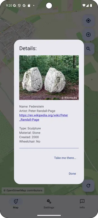
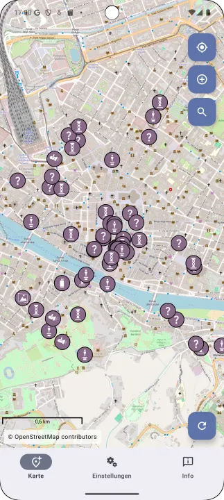
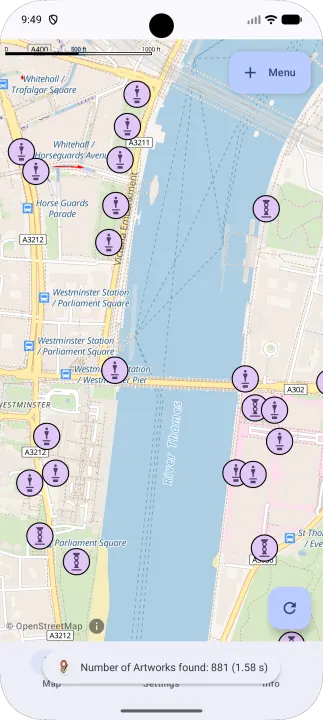
PublicArtExplorer allows you to discover and explore public art around you in just two clicks. The app uses your location to instantly reveal nearby sculptures, murals, and installations, complete with detailed information about each piece and its artist.
PublicArtExplorer’s data is based on the open platforms OpenStreetMap and Wikipedia. Because these platforms are built and maintained by a global community of volunteers, anyone can contribute: if you notice missing details or discover new artworks, you’re encouraged to add or update information directly on OpenStreetMap or Wikipedia. This collective approach means that every contribution helps to improve the app for all users, fostering a shared, up-to-date resource that benefits everyone interested in public art.
## Key features
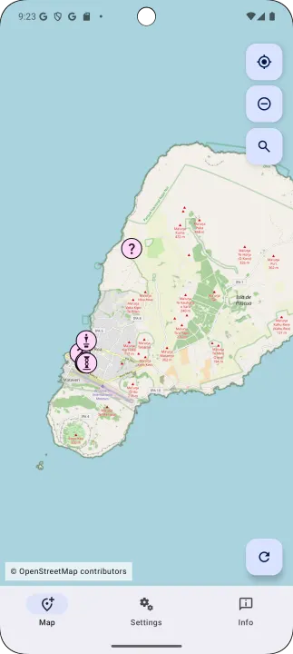
Show what's around and offer to show the details for each artwork.
Aimed at providing low barrier access to public art as well as instigiating people to add missing information to OSM and Wikipedia for the benefit of others.
## Web site
https://publicartexplorer.com/
Or arrived in a new place wondering if there’s any outdoor artwork waiting to be discovered nearby?
PublicArtExplorer allows you to discover and explore public art around you in just two clicks. The app uses your location to instantly reveal nearby sculptures, murals, and installations, complete with detailed information about each piece and its artist.
PublicArtExplorer’s data is based on the open platforms OpenStreetMap and Wikipedia. Because these platforms are built and maintained by a global community of volunteers, anyone can contribute: if you notice missing details or discover new artworks, you’re encouraged to add or update information directly on OpenStreetMap or Wikipedia. This collective approach means that every contribution helps to improve the app for all users, fostering a shared, up-to-date resource that benefits everyone interested in public art.
## Key features
Show what's around and offer to show the details for each artwork.
Aimed at providing low barrier access to public art as well as instigiating people to add missing information to OSM and Wikipedia for the benefit of others.
## Web site
https://publicartexplorer.com/
All versions
| Version | Released | Minimum Android | Size |
|---|---|---|---|
| 2.1.2 | Aug 13, 2026 | Android 7.0 | 26.4 MB |
| 2.1.1 | Jul 31, 2026 | Android 7.0 | 26.4 MB |
| 2.1.0 | Jun 27, 2026 | Android 7.0 | 25.9 MB |
| 2.0.0 | May 29, 2026 | Android 7.0 | 25.9 MB |
| 1.5.0 | Nov 21, 2025 | Android 7.0 | 55.9 MB |
| 1.4.6 | Nov 6, 2025 | Android 7.0 | 52 MB |
| 1.4.5 | Oct 30, 2025 | Android 7.0 | 51.9 MB |
| 1.4.0 | Sep 29, 2025 | Android 7.0 | 53.4 MB |
| 1.3.0 | Sep 13, 2025 | Android 7.0 | 51.8 MB |
| 1.2.1 | Aug 27, 2025 | Android 7.0 | 51.8 MB |
| 1.2.0 | Aug 21, 2025 | Android 7.0 | 51.8 MB |
| 1.0.10 | Jul 3, 2025 | Android 7.0 | 4.5 MB |
| 1.0.9 | Jun 27, 2025 | Android 7.0 | 4.5 MB |
| 1.0.8 | Jun 22, 2025 | Android 7.0 | 12.4 MB |
How to install an older version of an Android app · How to install an APK file on Android
Similar apps
-
 RailTrip
Travel through the train stations to stamp your visa!
-
 Tower Collector
Join the community and collect cell towers locations from your area!
-
 OsmAnd~
Global Mobile Map Viewing & Navigation for Offline and Online OSM Maps
-
 Déjà Vu - A local RF based back end for the µg Pro
Mobile/cell and WLAN/Wi-Fi based network provider for UnifiedNlp and microG
-
 CoMaps - Hike, Bike, Drive Offline with Privacy
Easy map navigation - Discover more of your journey - Powered by the community
-
 Organic Maps・Offline Map & GPS
Get reliable offline maps with GPS navigation for hiking, cycling, and travel.
-
 BRouter
Get elevation-aware cycling directions
-
 Sky Map
 turns your phone into a window on the night sky.